Submitted by Josef Robert Eckert
on
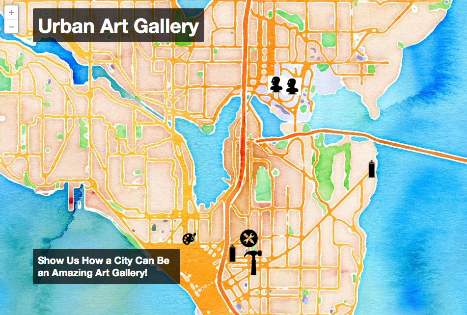
Check out the interactive maps and apps built by students in Geography 258: Digital Geographies so far this quarter! Students 1 created virtual tour guides in Google My Maps for Project 1. Students created mobile data collection apps with Fulcrum, used the survey to collect data about public art, and mapped the data in CartoDB in Project 2. You can check out their terrific work on our (growing) map gallery page: http://tinyurl.com/258gallery. You’ll need a UW NetID to access the page.